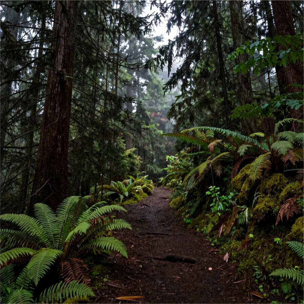
On the Olympic Peninsula, a map can make the distance between rainforest, mountains, and coast look deceptively simple. The roads wind, weather shifts, and points of interest are spread across a large region. A better trip plan chooses a few areas and gives each one enough time to feel distinct.
Choose a base by region
The Hoh Rain Forest and the Pacific coast are both compelling, but visiting them as quick stops on a single day can leave little time to walk or wait for the light. Group nearby places together and check drive times against current road conditions before you commit to the route. In busier seasons, arrive with a flexible plan in case parking areas or access points are crowded.
Photograph what the weather gives
In the rainforest, look for layers: moss on branches, ferns at the trail edge, and the way mist softens the background. At the coast, turn your attention to driftwood, wet sand, and changing cloud cover rather than waiting for a clear horizon. Pack a cloth to wipe your lens and a layer that can handle damp, shifting conditions.
Treat tides as part of planning
Some Olympic coast walks depend on the tide, so check a reliable tide table and current park guidance before heading out. At beaches such as Rialto, conditions can change how far it is sensible to walk; never continue past a point you can safely retrace. Check alerts for road, trail, and access updates too, since conditions on the peninsula can change your plans.